Curated High-Altitude Expeditions

Forge Your Path Across Europe’s Great Ranges

Comprehensive topographical trail records, hut-to-hut logistical data, and wilderness dispatches from the jagged peaks of the Dolomites to the hidden crests of the Pyrenees.

Featured Expedition Traverses

Verified field intelligence, elevation profiles, and logistical stages for premier European routes.

View All Massif Routes →
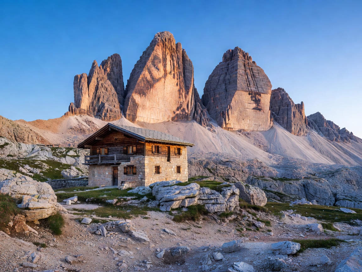
Tre Cime di Lavaredo rugged limestone towers during sunrise in Dolomites Italy Alta Via Highlight
Italian Dolomites • South Tyrol

Alta Via 1: The Dolomite High Traverse

From the turquoise mirror of Lago di Braies down to Belluno, this classic 120km high trail traverses sheer limestone crags, World War I war galleries, and alpine meadows.

Elevation 2,752 m
Distance 120.5 km
Duration 9–11 Days
Grade Alpine T3
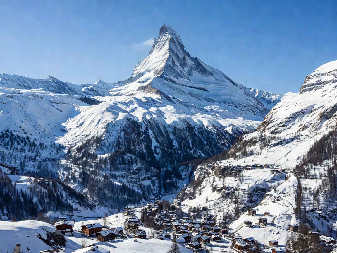
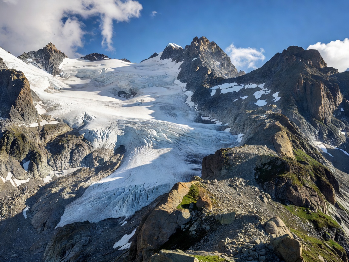
Glacier-capped peaks and rocky ridge in the French Swiss Alps Glacial Circuit
Graian Alps • France / Italy / Switzerland

Tour du Mont Blanc: Glacial Col Traverse

Circling the Mont Blanc massif through three countries, crossing lofty mountain cols like the Grand Col Ferret with sweeping vistas over colossal ice falls.

Max Col 2,665 m
Distance 168.0 km
Elevation Gain +10,200 m
Grade Strenuous T3
Pyrenees mountain range crest with deep glacial valley and jagged ridge Wilderness Trek
High Pyrenees • Ordesa & Monte Perdido

Faja de las Flores & Brecha de Rolando

A dramatic canyon shelf trail hanging 1,000 meters above the Ordesa Valley, connecting to the natural stone gateway breach carved into the French-Spanish border ridge.

Elevation 2,804 m
Distance 24.2 km
Duration 2 Days
Grade Exposed T4

Adventure Disciplines

Choose your mode of mountain exploration across European terrain.

All Activities →
Hiker traversing steep alpine ridge in the Swiss Alps
24 Verified Trails

Alpine Trekking

Explore routes →
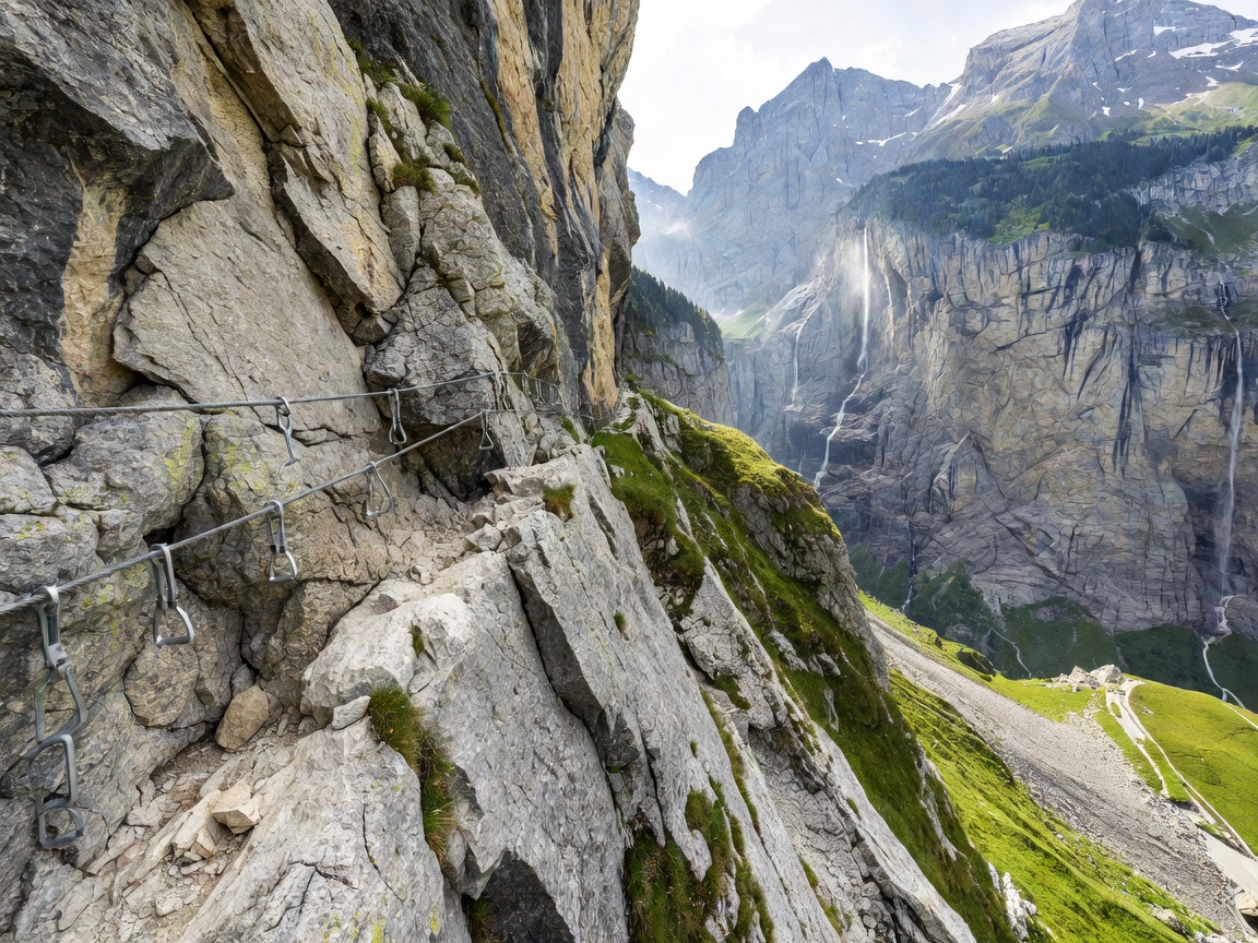
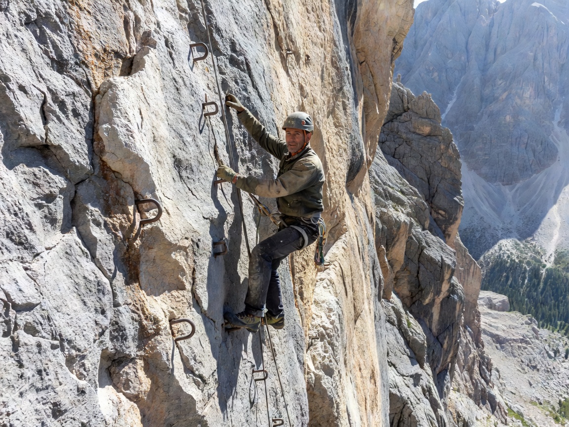
Climber securing iron cables on a dramatic Via Ferrata cliff
16 Protected Paths

Via Ferrata & Scrambles

Explore routes →
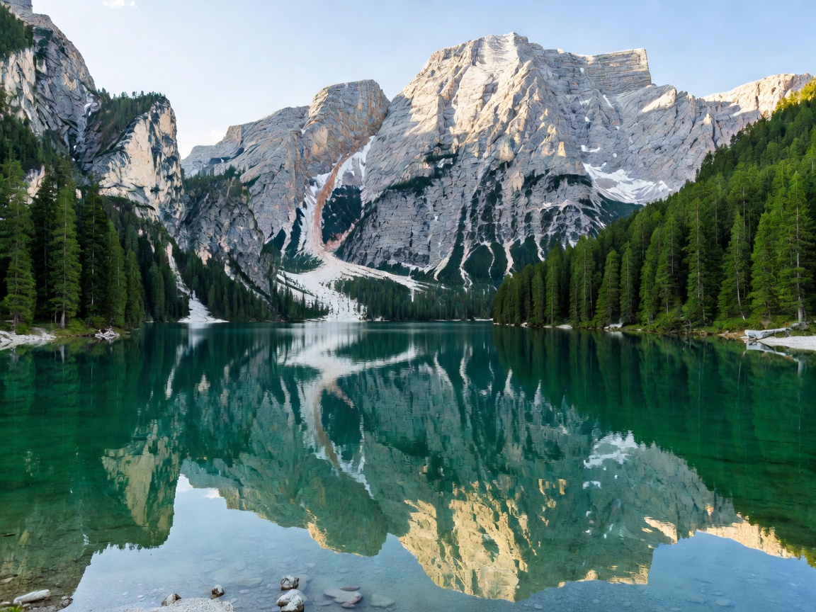
Crystal clear turquoise alpine lake surrounded by pine forests and mountains
19 High Tarns

Glacial Lakes

Explore routes →
Picturesque wooden chalets in an Austrian mountain village with steep green hills
31 Heritage Settlements

Mountain Villages

Explore routes →
Expedition In Depth

Stage-by-Stage: The Bernese Oberland High Route

A benchmark 4-day crossing from Grindelwald to Kandersteg under the north faces of the Eiger, Mönch, and Jungfrau.

Day 01 • 14.5 km • +1,120 m

Grindelwald to Kleine Scheidegg

Climbing out of the Grindelwald valley through lush meadows beneath the towering 1,800-meter sheer rock bastion of the Eigerwand. Overnight resting at high saddle inns.

Day 02 • 16.2 km • +940 m

Lauterbrunnen Valley to Mürren

Descending past dramatic cascading waterfalls of the glacial Lauterbrunnen trench, followed by the western ascent into the car-free cliffside refuge of Mürren.

Day 03 • 18.0 km • +1,410 m

Sefinenfurgge Pass to Griesalp

A grueling pass crossing across jagged moraines, descending via steep wooden stairs anchored into the sheer slate shale ridge of the upper Kiental valley.

Day 04 • 15.8 km • +1,280 m

Hohtürli Col & Oeschinensee

Ascending to the Blüemlisalphütte (2,840m), followed by a steep descent toward the sapphire blue glacial basin of Lake Oeschinen and Kandersteg rail terminus.

Seasonal Alpine Planner

Align your objective with snowpack clearance, hut openings, and weather stability.

Updated for 2026 Season

Prime Trekking & High Passes

Peak condition window for passes exceeding 2,500 meters. All alpine club refuges (SAC, CAI, CAF, DAV) are fully staffed, cable cars operate at full frequency, and high glacial tarns are ice-free.

  • Hut-to-hut multi-day traverses completely open
  • Via Ferrata cables clear of hard-packed snow
  • Daily thunderstorm risk during late afternoons (early starts required)
Review High Summer Traverses →
Hikers walking along a high alpine pass in summer